(Extracted from BLM/GLO Survey Records)
The section trail portion identifies the route created by
the Military. The identification of that trail is generally referred to as
being “Junction City”, “Stage Line” or “Fort Maginnis”; depending upon the
direction of travel. The trail became evident only after the Topographical
Surveyors mapped the land sections and were manually connected from township to
township. There are numerous other trails that interconnect with each other.
The trail portion identified for the
T5N – T7N & R34E – R38E ---- Before
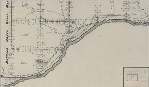
This combined survey
of the local area was created in 1878-1879, and only shows the Stage Line
running between
T5N R33E S36
Initially created in
1878, this location was re-surveyed in 1879 and 1804. The map was released in
1806. This survey section was restricted to the southern side of the
Yellowstone, as it was committed to support the Crow Act for identification of
land south of the
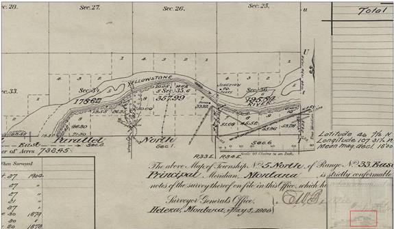
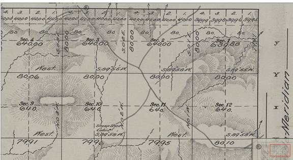
T5N R33E Original Plat Book Entry
Note that only the original c1879 trails are located. The
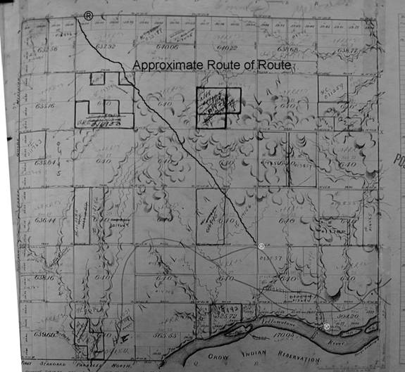
route to the town of
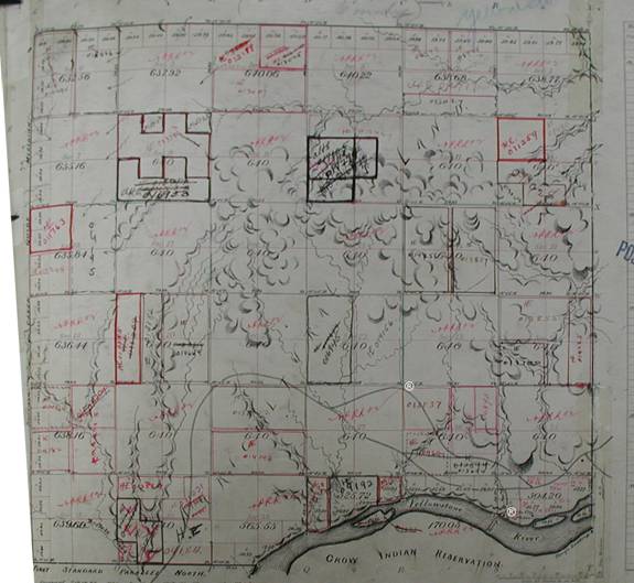
T7N R32E 1911- Final Segment
Note that the trail cuts due west and exits Section 19.
T6N R32E 1911 – Connecting Segment from T6N R33E
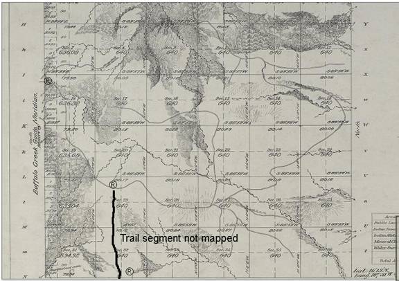
T6N R33E 1911 –
Connecting segment from T5N R33E (
Note that a portion of the stage line route wasn’t platted.
T5N R33E Plat Book Image
The trail starts at junction and proceeds northwest to where it is joined with the approximate route of highway 310.
Continue to page 2, for route from Spring to Musselshell