(Extracted from BLM/GLO Survey Records)
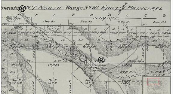
The route starts at
the water spring (Page 1) and continues to
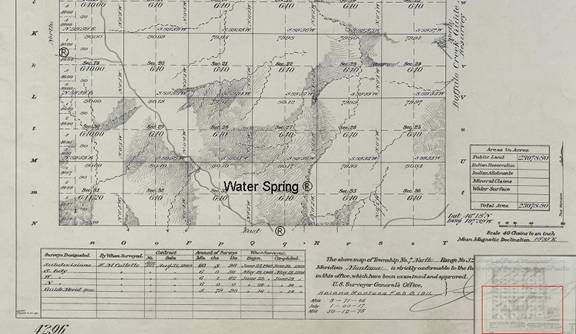
T7N R32 Water Spring
Location to Section 24 T7N R31E (1st Segment Coverage)
Section 24 T7N R31E to Section 31 T8N R31E
Continuing into
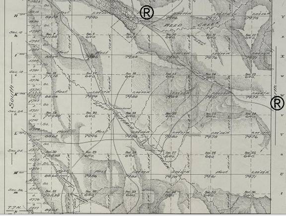
Continuing from
This segment ties
into Section 36 T8N R30E trail continuance (Page 3).