|
|
Out in the Boonies Trek #17 – Travel Through Golden Valley Former Towns |
|
Pompeys Pillar |
|
|
|
A four-wheeler is required; unless you are positive there will no wet roads? We started from Billings on HWY 3 North, stopping at Helm Cemetery south of Comanche, then traveled through portions of the area to visit towns and post office former locations. Click on pictures to enlarge. There are several alternate routes than can be taken to visit the towns, and a current-local area map will be needed; unless you know the terrain. Historical details on these towns are being collected, and several books about the county details are available. |

|
|
||
|
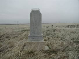
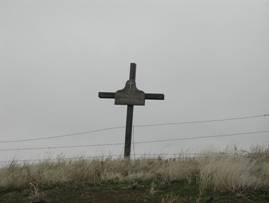
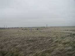
Stop #1 Comanche/Helm Cemetery |
This cemetery was incorporated January 7, 1925 and papers
were filed with the Secretary of State on January 12, 1925. An association
was created October 18, 1924 for the purpose of establishing that cemetery
along with procurement of the land. Church committee members were: O.
Armstrong was chairman, Mrs Rose Ballard, secretary. It is located in R24E T4N S29E1/2NW
(206’ Wide x 715’ long). The First Methodist Episcopal Church
located ½ mile north was deeded November 15, 1916. The land for the church
was deeded March 27, 1911 and filed April 3, 1911 in Book 39. It’s
proper name is “ |
|
|
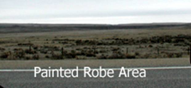
Stop #2 Painted Robe Abandoned RR Station |
This station was located in Sec 24, T5N, R22E at 46.1680107, -108.9190446. It is no longer visible. |
|
|
Stop #3 |
The |
The |
|
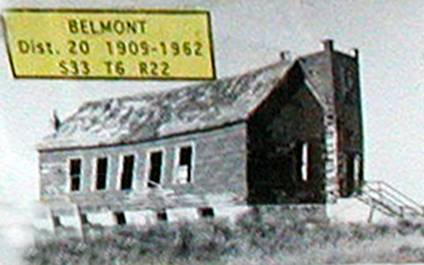
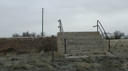
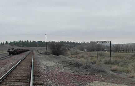
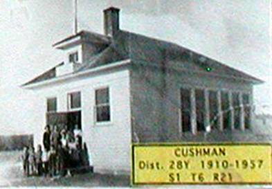
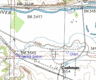
Stop #4 Cushman |
Turn right on |
|
|
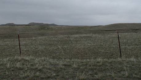
Stop #5 Olden |
Continue north to top of the hillside – this is
Olden. Turn around and return to Buffalo Trail. The |
Pictured here is the new RR Track leading to the |
|
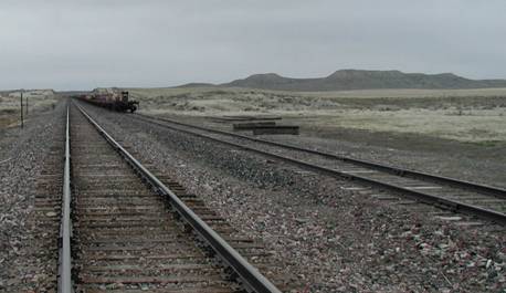
Stop #6 Fratt |
This small Railroad Station operated for a short while.
Dates are not noted. Located at 46.29162N & 109.05072W. It is located
about ½-mile NW of Cushman on the |
|
|
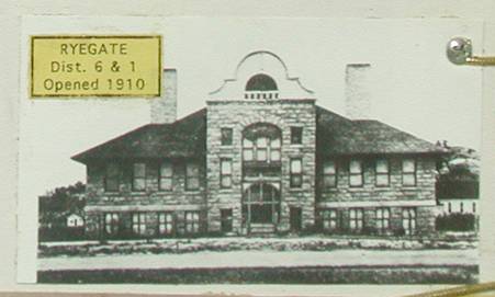
Stop #7 Ryegate |
|
|
|
Stop #8 Dodgeton |
The |
Dodgeton was located near Mile Marker 124 (1/2-mile east of Barber. |
|
Stop #9 |
Continue west to the intersection with |
There is no public access from
|
|
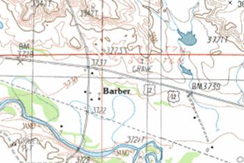
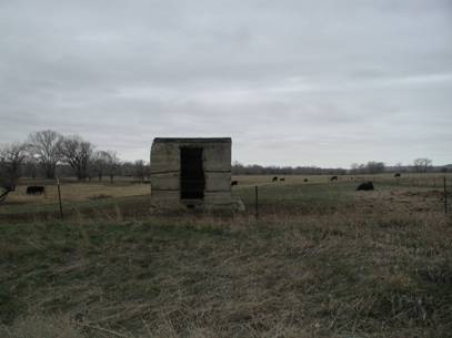
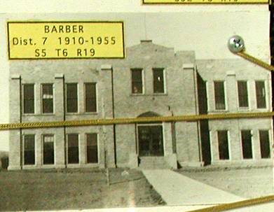
Stop #10 Barber |
Turn-around and head south on |
|
|
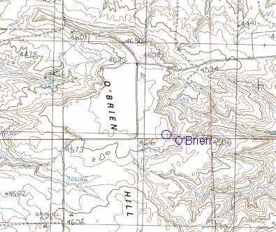
Stop #11 O’Brien |
The |
|
|
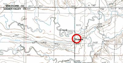
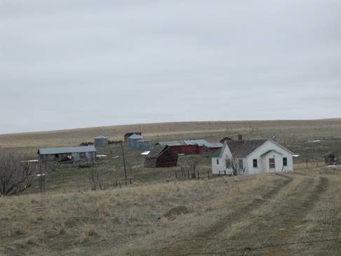
Stop #12 Progress |
All dirt roads to location. Town sat in a currently
open-empty field. No visual evidence of a town. From O’Brien, go south
on |
|
|
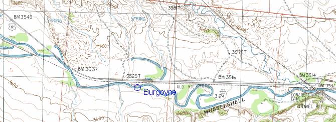
Stop #13 Burgoyne Siding |
The |
|
![]() Email
me:
Email
me:
Katy Hestand
Yellowstone County Coordinator