|
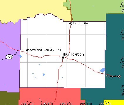
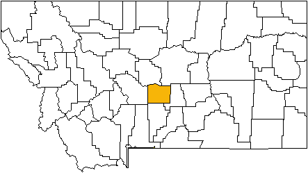
WHEATLAND - SW of the geographical center of the state, Wheatland was formed in 1917 from parts of Meagher and Sweet Grass counties. The name describes the area well. Harlowton (county seat) Harlowton is the county seat for Wheatland county. Located on the bluffs along the Musselshell River. The town was the starting point for the Milwaukee Roads Electric line heading west over the mountains to the state of Idaho. The original settlement was named Merino for the sheep and wool industry, but was changed in 1900 to Harlowton for Richard Harlow's Montana Railroad. The native's nickname for the town is Harlo. Judith Gap was named for the divide between the Big Snowy and the Little Belt mountains. The first settlement in the area was U-bet, a crossroads and stage stop in the 1870's. TwoDot sits in the shadow of the Crazy Mountains and is located 13 miles west of Harlowton. The town was founded by a man named George "Two Dot" Wilson, so named because of the brand he used on his cattle.
|