 |
|||||||||||||||||||||||||||
|
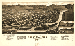
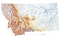
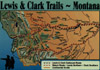
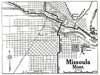
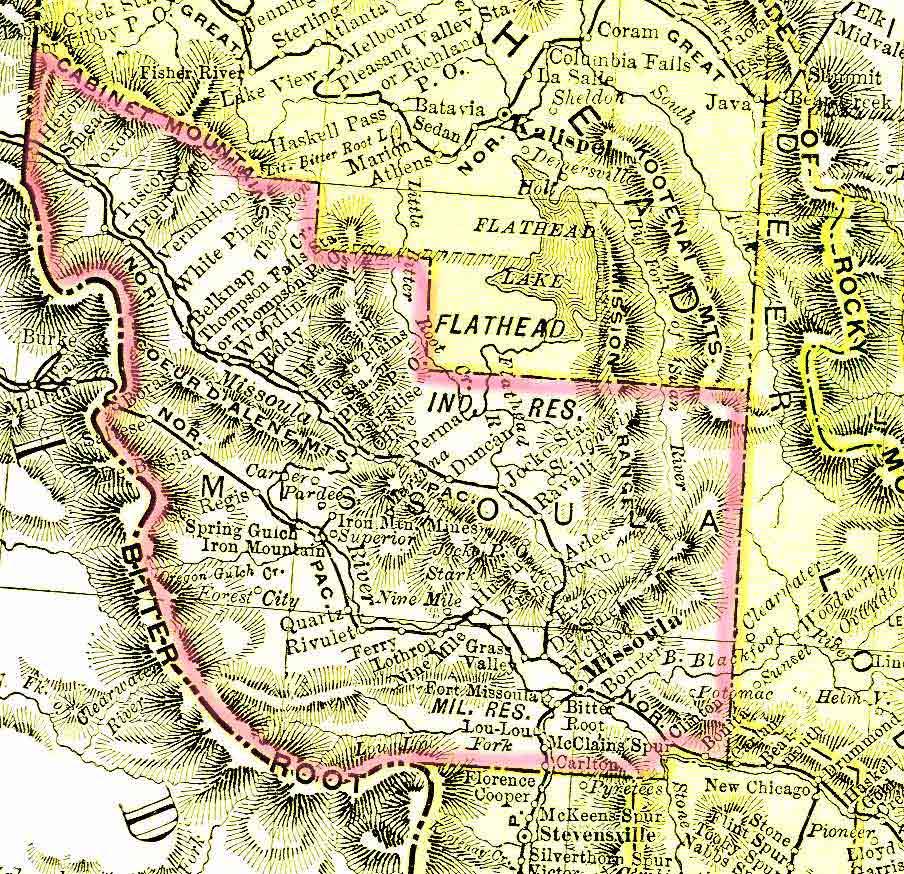
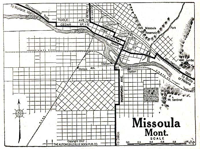
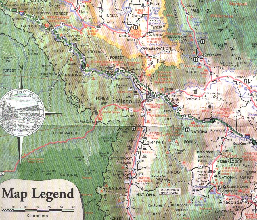
MISSOULA
COUNTY MAPS
|
|||||||||||||||||||||||||||
|


|
Return
to main page
Copyright © 1999 - Present by Missoula County Coordinators for the MTGenWeb. All rights reserved. |
|
|
|||||||||||||||||||||||||||
|
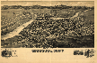
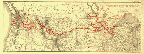
MISSOULA
COUNTY MAPS
|
|||||||||||||||||||||||||||
|
|
Return
to main page
Copyright © 1999 - Present by Missoula County Coordinators for the MTGenWeb. All rights reserved. |