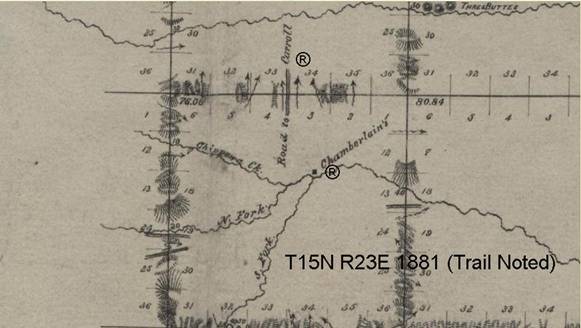
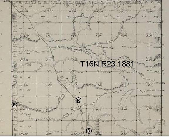
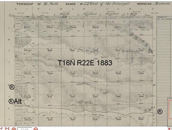
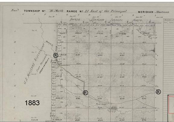
(Extracted from BLM/GLO Survey Records)
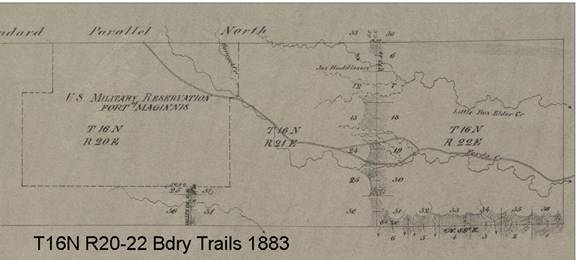
The trail continues for 20-1/4 miles from Chamberlain’s
Ranch crossing in
The trail continues from T15N to a point just north of Ford’s Creek, then follows that creek to the western bourdary, wher it joins up with the road leading directly to the fort.
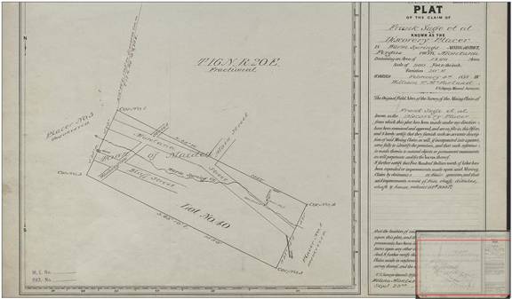
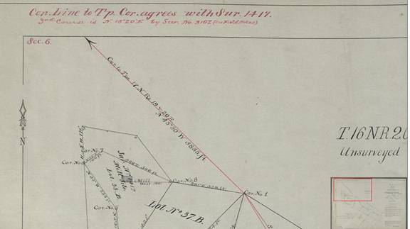
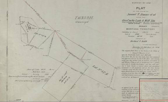
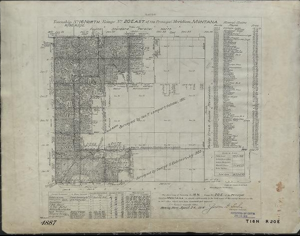
The following three images are plat maps created for mining interests:
The End