(Extracted from BLM/GLO Survey Records)
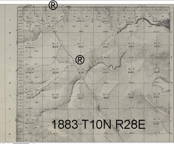
The trail continues from the Willow Creek crossing and northwest to Flat Willow crossing, a distance of 16-1/2 miles. Starting with T10N R28E (1883 survey) the trail crosses into the adjacent township at Section 35.
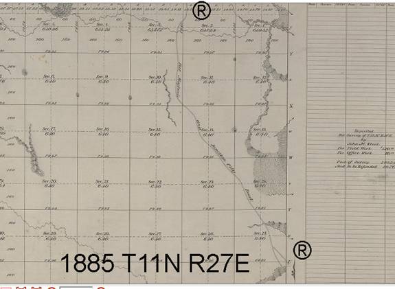
The trail cuts across the southwest corner of T11N R28E and into T11N R27E.
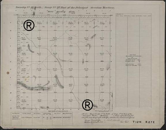
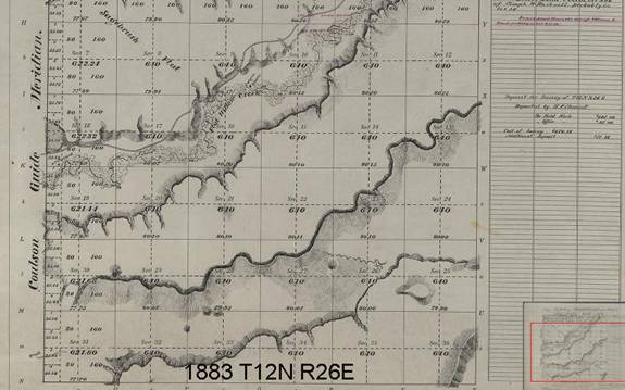
Connection with T12N R27E in Section 35 (1885 Topo) and westward into T12N R26E.
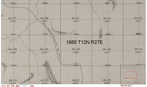
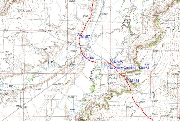
An enlargement of the trail, just before reaching Flat Willow Creek shows additional clarity. On the current Topo maps, there will be considerable distortion to the trail location.
Crossing into the adjacent township (T12N R26E) there is a short connection northwest to T13N (not pictured). This view shows the crossing at Flat Willow Creek:
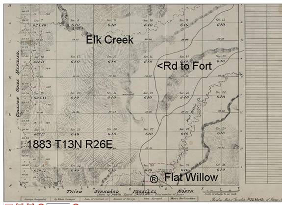
The 1883 survey (completed before the Maginnis Trail was created), shows some clarity to the region. There is an existing trail running alongside of Flat Willow Creek.
The Flat Willow Crossing over-laid onto the 2006 Topo map shows how the survey section boundaries have changed over the past 100-years.
The trail for the next section continues on Page 6.