(Extracted from BLM/GLO Survey Records)
The trail continues from the
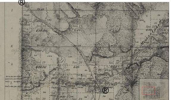
In T9N R28E 1883, the trail cuts through the northeast corner and enters Section 35 of T10N R28E, ending at the Willow Creek Crossing. It should be noted that the current Topo maps show a slightly different arrangement of the crossing.
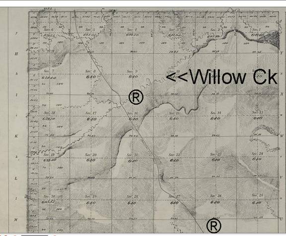
Willow Creek is located in T10N R28E Section 16. (Topo Date 1883)
The trail for the next section continues on Page 5.