(Extracted from BLM/GLO Survey Records)
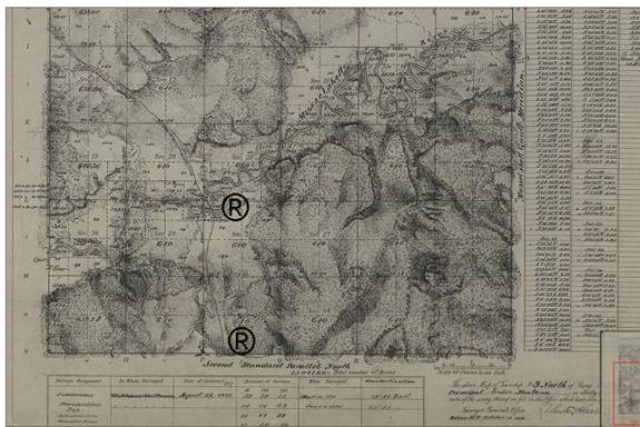
The trail continues from the boundary of R31E and R30E T8N (1894 Survey) and connects with Section 13 T8N R29 at Hawk Creek.
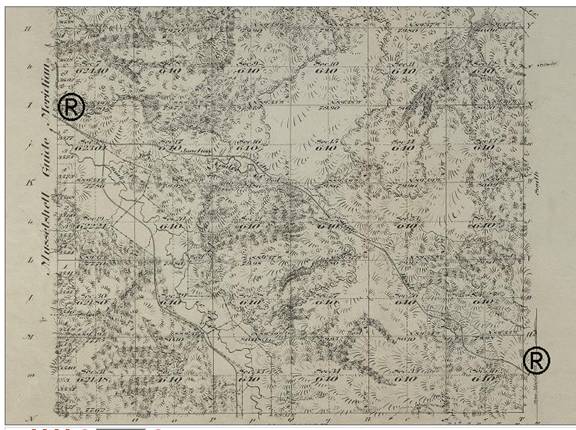
From T 8N R29E (1911) the trail connects with Section 13 and continues into T9N R29E Section 33 at Fish Creek junction with Hawk Creek.
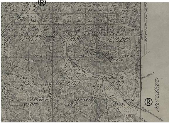
Final segment leading
into the