|
|
|
||||||||
|
|
 - -  Out in the Boonies (Trip # 15) |
||||||||
|
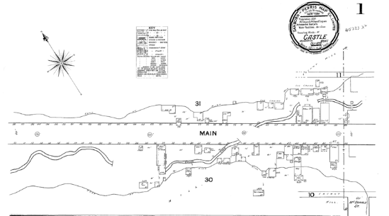
Pompeys Pillar |
By Dave Dodge & Cleve Kimmel |
||||||||
|
This is a really fun trip to |
|||||||||
|
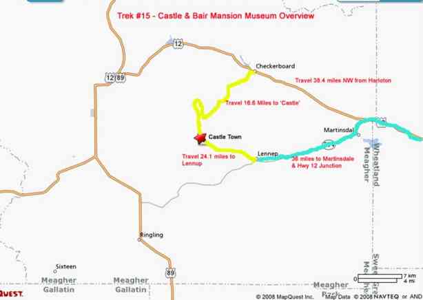
Map Overview of Trek – Use a 4x4 Vehicle with
high ground clearance. Bumpy roadway. |
|
||||||||
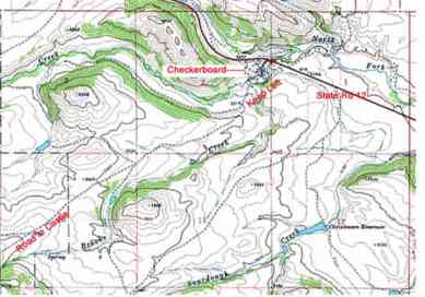
|
Start |
At Checkerboard ZERO the odometer and follow the route sections shown on the TOPO map. At the
small ‘hamlet’ of Checkerboard turn left into town and drive past
the local bar, and proceed downhill. Of course, if thirsty, you can stop at
the bar and chat for a spell. At the bottom of the hill there should be a
sign that says “Private Property Next Two Miles.” Stay on the
road! If you see this sign, you have entered the correct road for
reaching the |
|
|||||||
|
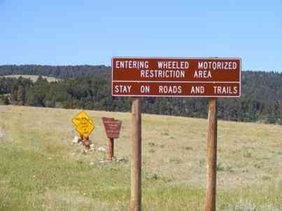
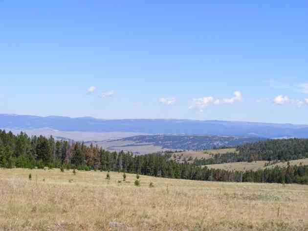
Mile 2.4 |
A collection of signs greets you with advice to stay on the
road, entering the National Forest and caution about cattle. The views are
spectacular.
|
|
|||||||
|
Mile 7.8 |
To your left is a |
|
|||||||
|
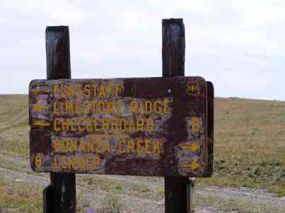
Mile 8.9 |
Finally you will reach a road junction with a lot of arrows in
it. One arrow was pointing toward Castle. At this point we saw the sign; but
Indians were noted! Follow the arrow leading to Castle! |
|
|||||||
|
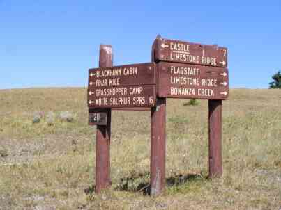
Mile 9.3 |
Another arrow riddled sign. Follow the arrow pointing to
Castle. |
No picture
available. You are on your OWN! |
|||||||
|
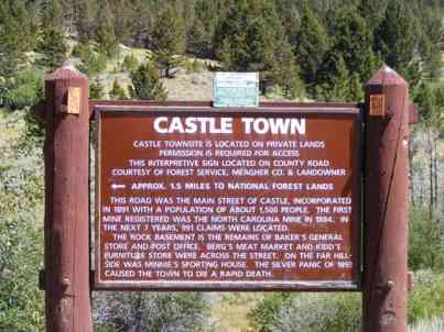
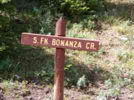
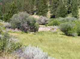
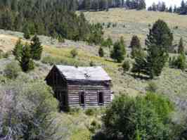
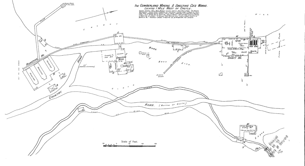
Mile 16.6 |
You have arrived at Castle, and the interpretive sign says it
all. |
|
|||||||
|
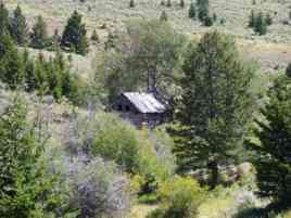
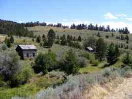
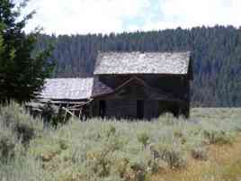
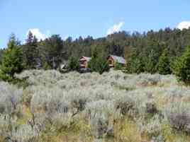
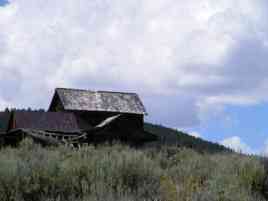
Castle Pictures |
|
|
|
||||||
|
|
|
|
|||||||
|
|
|
|
|||||||
|
|
|
||||||||
|
Return |
Time to pack up
and start home. You will be following the old service road southeast that
leads to the town of |
||||||||
|
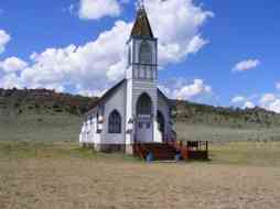
Mile 24.1 |
You are now in
Lennup where the church & other buildings stand. |
|
|||||||
|
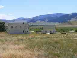
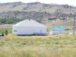
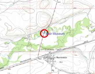
Mile 36 |
Continue on highway
294 to Martinsdale and take cutoff road north to highway 12. You will pass by
the Bair Mansion-Museum. |
|
|||||||
|
Mile 38.1 |
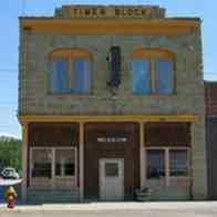
After reaching
US 12, turn right and go back to Harlowton.
Harlowton is 25.5 miles to the east. The total mileage traveled is
102.
Photo – |
At Harlowton, turn
right at the
|
|||||||
|
|
|||||||||
![]() Email
me:
Email
me:
Katy Hestand
Yellowstone County Coordinator