Maps of Valley County Montana
Valley
County has changed in size and population in the last 100 years. The maps below
show the many borders that Valley County has had, since its founding in 1893.
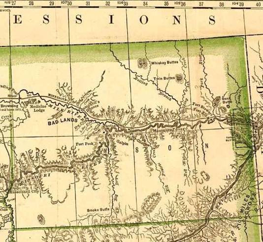
1881 Map of Dawson County
– the parent of Valley County. In 1893, the part North
of the Missouri River became the original Valley County.
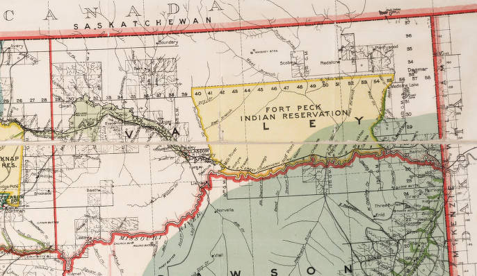
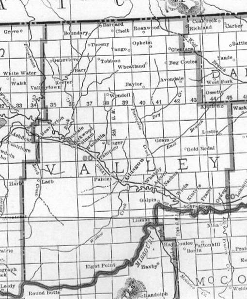
In 1908 Valley County still has the original 1893
boundaries. The Survey lines indicate where the growing population areas were at
the beginning of the homesteading years.
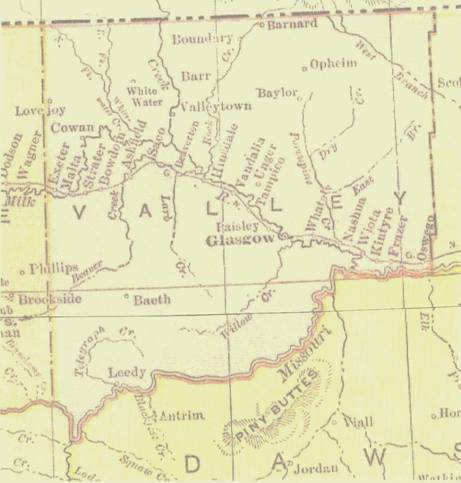
1914 Valley County, after the
formation of Sheridan County in 1912 and Blaine County in 1913. These borders were in place
for just one or two years.
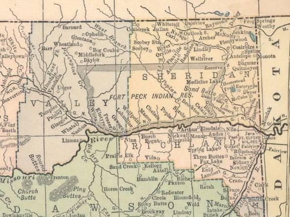
1915 Valley and Sheridan
Counties, after the formation of Phillips County.
1921 Valley County, after the
formation of Roosevelt County in 1919 and Daniels County in 1920. This was at the peak of the
homesteading years.
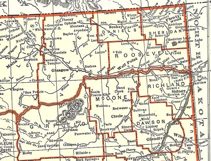
Northeast Montana in 1931,
showing the Counties that were carved out of the original Dawson and Valley
Counties.
Return to the Valley County home page.
![]()