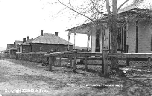
Cascade Montana, ca 1906...This is a picture postcard of some residences in Cascade, Montana
..
.In
my mother's words..."Castner Falls lay between Deep Creek on the east
and the Missouri River on the west. Castner Coulee is about seven miles in
length and is believed to be a fault caused by an earthquake. There are
places along the sides, which are steep and high. At other locations it is
possible to walk or drive into it without difficulty. Before 1900 there were
two houses built in the coulee and abandoned. There was also a school house
located there. The creek which falls over and through the coulee is not a
large one. It is believed that Castner Falls was named for John Castner, a
pioneer cattleman. ("Mountains and Meadows" A pioneer history
compiled by members of the Cascade Historical Committee, 1805-1925)
Cascade is on the western side of the Missouri River, Castner Falls and many
other settlements, on the eastern side.
Dick Sowa richardp@citylinq.com
Copyright 1998-2011 All Rights Reserved